Ice and Climate:
Polar in-situ observations
Introduction
AWS on Antarctica. The stations marked bold are still operational.
The Antarctic stations
> AWS20, Larsen C West Flux station
> AWS20, Larsen C West Snowfox and GNSS
> AWS19, King Baudoin Ice Shelf
> AWS18, Larsen C West, Cabinet Inlet
> AWS16, Princess Elisabeth station
> AWS14, Larsen C North Snowfox and GNSS
> AWS13, Pole of inaccessibility
> AWS8, SWEDARP9798 Camp Victoria
AWS20, Larsen C West
Location: |
66°36' S, 63°13' W, ~70 m a.s.l. (Argos id:29121) |  |
Operational: |
November 2022 to still operational | |
Live data: |
||
Remarks: |
The station is located close to the grounding line of the Larsen C ice shelf. The station was erected and is visited when weather permits once a year by BAS personnel. This station was originally named AWS18 and located about 20 km west of its current location. It was moved to ensure future accessibility. | |
AWS20, Larsen C West Flux station
Location: |
66°36' S, 63°13' W, ~70 m a.s.l. (Argos id:fluxstation) |  |
Operational: |
November 2022 to still operational | |
Live data: |
||
Remarks: |
The station is located close to the grounding line of the Larsen C ice shelf. The station was erected and is visited when weather permits once a year by BAS personnel. | |
AWS20, Larsen C West Snowfox and GNSS
Location: |
66°36' S, 63°13' W, ~70 m a.s.l. (Argos id:hirise1) |  |
Operational: |
November 2022 to still operational | |
Live data: |
||
Remarks: |
The station is located close to the grounding line of the Larsen C ice shelf. The station was erected and is visited when weather permits once a year by BAS personnel. | |
AWS19, King Baudoin Ice Shelf
Location: |
70°57' S, 26°16' E, ~50 m a.s.l. | 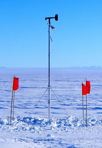 |
Operational: |
December 2014 to February 2016 | |
Remarks: |
The station was located on the King Baudoin Ice Shelf north of the Belgian Princess Elisabeth station. The station was erected for a 1 year experiment. | |
AWS18, Larsen C West, Cabinet Inlet
Location: |
66°24' S, 63°22' W, ~70 m a.s.l. | 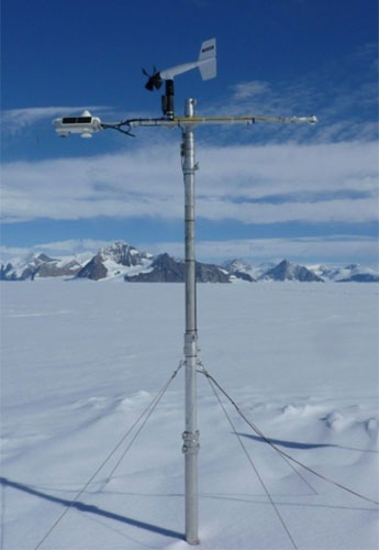 |
Operational: |
December 2014 to November 2022 | |
Remarks: |
The station was located close to the grounding line of the Larsen C ice shelf, in Cabinet Inlet. The station was moved towards the east to ensure future accessibility and renamed AWS20. | |
AWS17, Scar Inlet, Larsen B
Location: |
65°56' S, 61°51' W, ~50 m a.s.l. | 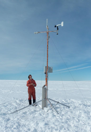 |
Operational: |
February 2011 to March 2016 | |
Remarks: |
The station was located on the remnants of the Larsen B ice shelf. The station was erected and is maintained by BAS personnel. | |
AWS16, Princess Elisabeth station
Location: |
71°57' S, 23°20' E, ~1300 m a.s.l. | 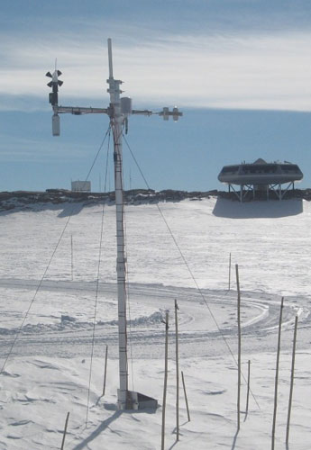 |
Operational: |
February 2009 to July 2020 | |
Remarks: |
The station is located near the Belgian Princess Elisabeth station. The station was erected and is visited every year by researches from the Catholic university of Leuven. Check out the website of the Princess Elisabeth station | |
AWS15, Larsen C South
Location: |
67°34' S, 62°09' W, ~50 m a.s.l. | 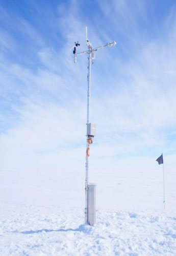 |
Operational: |
January 2009 to June 2014 | |
Remarks: |
The station was located on the southern part of the Larsen C ice shelf and maintained by BAS personnel. | |
AWS14, Larsen C North
Location: |
67°01' S, 61°30' W, ~50 m a.s.l. (Argos id:29157) | 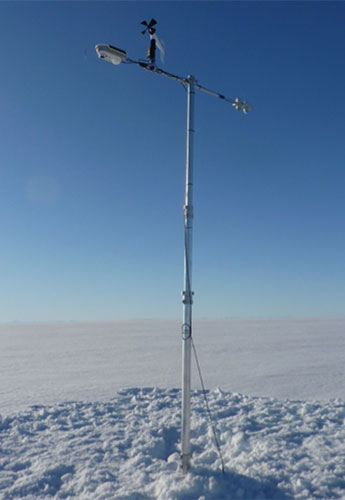 |
Operational: |
January 2009 to still operational | |
Live data: |
||
Remarks: |
The station is erected by IMAU personnel and visited when possible once a yearby BAS personnel. | |
AWS14, Larsen C North Snowfox and GNSS
Location: |
67°01' S, 61°30' W, ~50 m a.s.l. (Argos id:hirise2) | 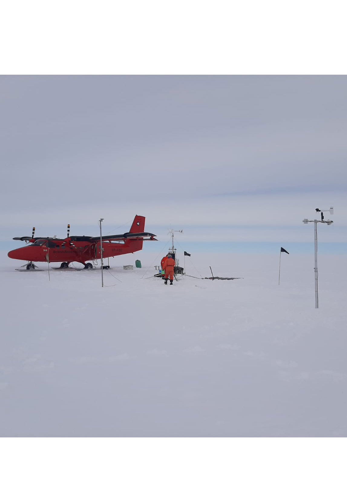 |
Operational: |
November 2022 to still operational | |
Live data: |
||
Remarks: |
The station is erected by IMAU personnel and visited when possible once a yearby BAS personnel. | |
AWS13, Pole of inaccessibility
Location: |
82°07' S, 55°02' E, ~3730 m a.s.l. | No photo available |
Operational: |
January 2008 to March 2016 | |
Remarks: |
The station was located on the Southern pole of inaccessibility, on the Norwegian-US scientific travers of East Antarctica. Members of the travers team erected the station. | |
AWS12, Plateau Station B
Location: |
78°39' S, 35°38' E, ~3620 m a.s.l. | 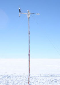 |
Operational: |
December 2007 to March 2016 | |
Remarks: |
The station was located 115 km North of former Plateau Station, on the Norwegian-US scientific travers of East Antarctica. Members of the travers team erected the station. | |
AWS11, Halvfarryggen
Location: |
71°10' S, 06°48' W, ~690 m a.s.l. | 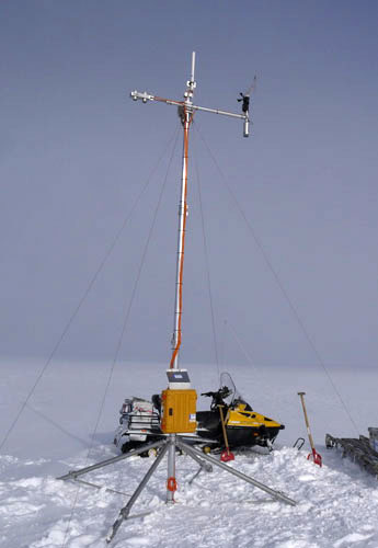 |
Operational: |
January 2007 to January 2019 | |
Remarks: |
The station is located on Halvfarryggen, an ice rise close to Neumayer station, at the location of an AWI ice coring site. The station is erected and almost every year visited by AWI personnel. | |
AWS10, Berkner Island
Location: |
79°34' S, 45°47' W, ~890 m a.s.l. | 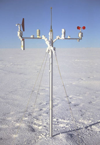 |
Operational: |
1. February 1995 to February 2003 | |
Remarks: |
The station was located on the South Dome Berkner Island, Tysenhöhe, reasonably close to the location where AWI personnel drilled a medium deep ice core in the austral summer of 1994-1995 and also a few kilometers away from the location where BAS personnel drilled an ice core to the bedrock in 2003-2005. The station was erected by personnel of AWI and serviced several times by BAS personnel. | |
AWS9, DML05/Kohnen
Location: |
75°00' S, 00°00' E/W, ~2900 m a.s.l. | 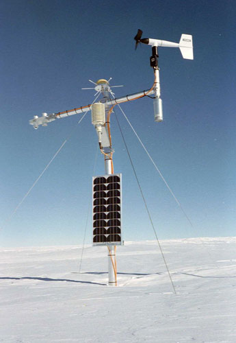 |
Operational: |
December 1997 to December 2022 | |
Remarks: |
The station is located at site DML05 of the AWI pre site surveys for the EPICA DML drilling. The EPICA DML drilling was carried out several km east of the station at Kohnen station. At this site a medium deep ice core was drilled in 1997 and snow pit measurements were carried out several other visits. The station was erected and almost every year visited by AWI personnel. In December 2021 AWI installed a new weather station close to the IMAU AWS. A visualisation of the data can be found on the AWI website. | |
AWS8, SWEDARP9798 Camp Victoria
Location: |
76°00' S, 08°03' W, ~2400 m a.s.l. | No photo available |
Operational: |
January 1998 to January 2003 | |
Remarks: |
The station was erected by members of the SWEDARP expedition and visited several times by AWI personnel. The station was located at Camp Victoria, where in January 1998 a medium deep ice core was drilled by the SWEDARP expedition. | |
AWS7, Scharffenbergbotnen
Location: |
74°34' S, 11°03' W, ~1170 m a.s.l. | 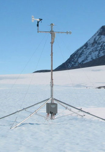 |
Operational: |
December 1997 to January 2003 | |
Remarks: |
The station was located in the valley Scharffenbergbotnen, on blue ice. Because of its location on blue ice it is more difficult to fix the station to the surface. The station fell over in September 1998. In January 2000 the station was replaced. The new station started to have problems in June 2001 and was finally removed in January 2003. The station has given us in five years time about 1.5 years of useful data. The station was visited several times by members of the SWEDARP and FINNARP expeditions. | |
AWS6, SWEDARP9798 Svea
Location: |
74°28' S, 11°31' W, ~1160 m a.s.l. | 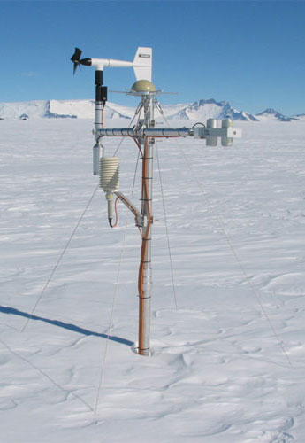 |
Operational: |
January 1998 to February 2009 | |
Remarks: |
The station was located at Svea cross, a virtual crossing point of two relatively save routes, one going from Rampen via Wasa/Aboa to Svea and the other running parallel along the Heimefrontfjella from the German Kotash station to Kibergdalen. Snow pit measurements were carried out at this site during several visits. The station was visited several times by members of the SWEDARP and FINNARP expeditions. | |
AWS5, SWEDARP9798 Wasa/Aboa
Location: |
73°06' S, 13°10' W, ~360 m a.s.l. | 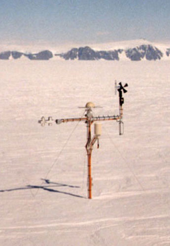 |
Operational: |
February 1998 to January 2013 | |
Remarks: |
The station was located at Camp Maudheimvida, near the stations Wasa and Aboa. A medium deep ice core was drilled at this location in January 1998 and snow pit measurements were carried out during other visits. The station was visited several times by members of the SWEDARP and FINNARP expeditions and handed over to FINNARP in January 2013. | |
AWS4, SWEDARP9798 Rampen
Location: |
72°45' S, 15°29' W, ~35 m a.s.l. | 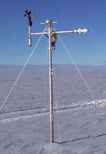 |
Operational: |
December 1997 to December 2002 | |
Remarks: |
The station was located near Rampen, at the site of stake 1090 of the SWEDARP stake network in Dronning Maud Land. A shallow ice core was drilled at this location in December 1997 and snow pit measurements were carried out during other visits. The station was visited several times by members of the SWEDARP and FINNARP expeditions. | |
AWS3, NARE9697 site M
Location: |
74°59' S, 15°00' E, ~3450 m a.s.l. | 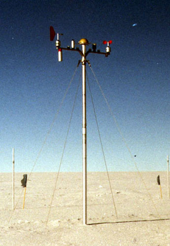 |
Operational: |
January 1997 to January 2001 | |
Remarks: |
The station was erected by members of the NARE96/97 expedition and removed by members of the NARE00/01 expedition. The station was not visited in between. The station was located at site C of the NARE96/97 traverse. During both expeditions in which the station was erected and removed, stake and GPS measurements were carried out, shallow ice cores were drilled and snow pit measurements were taken at these locations (and several others). | |
AWS2, NARE9697 site C
Location: |
72°15' S, 02°53' E, ~2400 m a.s.l. | 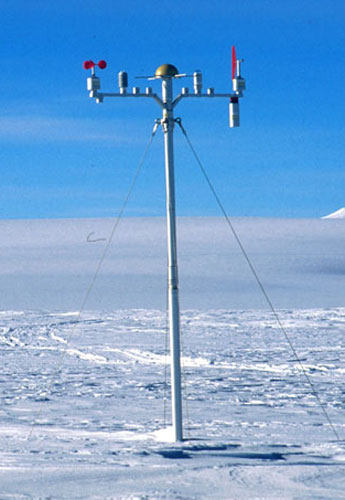 |
Operational: |
January 1997 to December 2000 | |
Remarks: |
The station was erected by members of the NARE96/97 expedition and removed by members of the NARE00/01 expedition. The station was not visited in between. The station was located at site C of the NARE96/97 traverse. During both expeditions in which the station was erected and removed, stake and GPS measurements were carried out, shallow ice cores were drilled and snow pit measurements were taken at these locations (and several others). | |
AWS1, NARE9697 site A
Location: |
71°54' S, 03°05' E, ~1420 m a.s.l. | 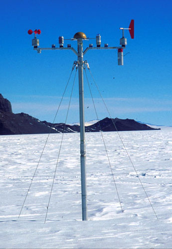 |
Operational: |
December 1996 to December 2000 | |
Remarks: |
The station was erected by members of the NARE96/97 expedition and removed by members of the NARE00/01 expedition. The station was not visited in between. The station was located close to the Norwegian station Troll at site A of the NARE96/97 traverse. During both expeditions in which the station was erected and removed, stake and GPS measurements were carried out, shallow ice cores were drilled and snow pit measurements were taken at these locations (and several others). | |
